Hubbard Radio Washington DC, LLC. All rights reserved. This website is not intended for users located within the European Economic Area.
You may not want to go mountain climbing in Antarctica but people can now see the terrain and its elevations thanks to work by the National Geospatial Intellige...
Best listening experience is on Chrome, Firefox or Safari. Subscribe to Federal Drive’s daily audio interviews on Apple Podcasts or PodcastOne.
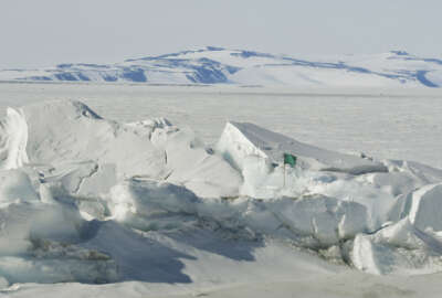
You may not want to go mountain climbing in Antarctica. They don’t make socks warm enough. But people can now see the terrain and its elevations thanks to work by the National Geospatial Intelligence Agency. NGA provided the imagery leading to release of the first Reference Elevation Model of Antarctica. NGA data scientist Brian Bates joined Federal Drive with Tom Temin to share details of the project.
Copyright © 2024 Federal News Network. All rights reserved. This website is not intended for users located within the European Economic Area.