ELC 2010: Geospatial technology helps agencies fulfill missions
Tom Temin catches up with the nation\'s Geospatial Information Officer
wfedstaff | June 3, 2015 3:58 pm
By Olivia Branco
Federal News Radio
Chances are you’ve used geospatial technology this week. Perhaps you were going to a new restaurant or looking to get around traffic. The technology used in the common GPS units is exactly what the EPA uses as well on a federal level.
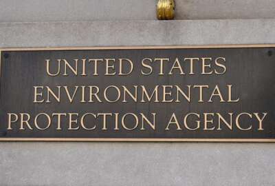
The EPA’s geospatial information officer, Jerry Johnston, joined Tom Temin live from the Executive Leadership Conference on The Federal Drive to discuss the technology and how it’s improved over the years.
“Everything we do is space based, our entire mission is carried out over communities, over states, over watersheds and the technology has changed a lot in the last several years,” Johnston said. “This used to be a really specialty discipline that we had professionals that were the practitioners that did all this work behind the scenes. But with the advent of a lot of commercial geospatial technologies — Garmin, Google Earth — the technology’s become a lot more commonplace and there’s a lot more people at the agency using it and a lot of our stakeholders are using it as well. It’s really exploded in the last six years.”
Johnston explained how policy analysts and scientists with the EPA are using the technology and said it’s for agency managers as well.
“We’re using geospatial technology much more broadly for doing our analyses, for doing risk assessments, for doing modeling, for understanding hazardous waste sites,” Johnston said. “We’re using it a lot more in the executive management ranks, for the senior managers to take a look and understand how their programs are operating and to look at performance measures in a spatial context.”
The geospatial data in general has gotten better and better over the past several years.
“We have more data now and we are more confident in the locations in our data. One of the data sets we manage at EPA is called the Facilities Registry System which is a database of all the sites in the United States that have environmental permits of any kind.”
One of the reasons behind the improvement is something that can be explained as the democratization of GPS data.
“That’s in large part because we started publishing maps with that data on it and the public came back and said this isn’t in the right place and that’s helped us improve the quality of the data over time.”
Another way managers at the EPA use the technology is to measure program performance.
“One thing that we’re working on now is community based programs across the agencies so we’re trying to look at how different programs at the agency service specific communities,” Johnston said. “We’re taking a lot of the performance measures, for example from our environmental justice program and trying to display them on maps so showing where have we given grants over the last several years and how does that correspond to environmental justice situations on the ground across the country and then outcomes, how are things improving across the country hopefully because of investments that the agency is making.”
Copyright © 2024 Federal News Network. All rights reserved. This website is not intended for users located within the European Economic Area.


