Hubbard Radio Washington DC, LLC. All rights reserved. This website is not intended for users located within the European Economic Area.
On Air: Federal News Network
USAID embarks on a more data-driven approach to mission delivery
The U.S. Agency for International Development (USAID) is known for operating around the globe. Now it has a geospatial strategy it hopes will improve the decisi...
The U.S. Agency for International Development (USAID) is known for operating around the globe. Now it has a geospatial strategy it hopes will improve the decision-making and, ultimately, the effectiveness of its aid programs. For details, the Federal Drive with Tom Temin spoke with Carrie, Stokes, USAID’s Chief Geographer.
Interview Transcript:
Tom Temin And tell us about the purpose of the geospatial strategy. What is it going to let the agency do that it doesn’t do now?
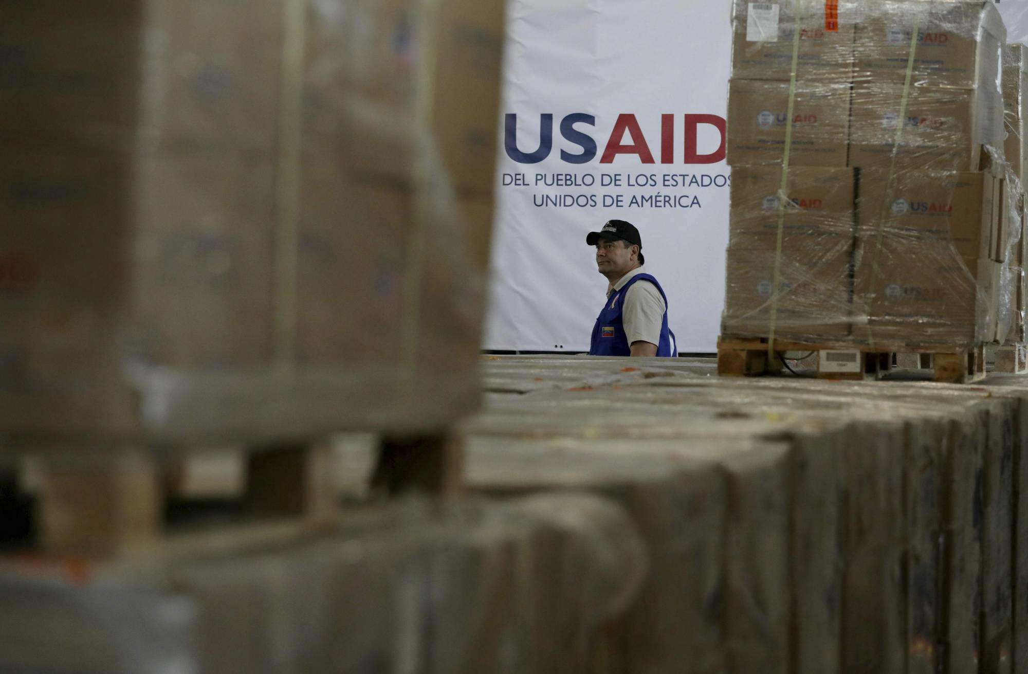
Carrie Stokes So USAID, as you mentioned, is the U.S. government lead for international development and humanitarian assistance. And we work in nearly 100 countries around the world to reduce poverty, strengthen the democratic governance process, save lives, and really help people beyond the technical assistance and the development assistance. We want them to be able to be resilient on their own. And we’re faced currently with many complex challenges around the world at the moment, and we need every tool in the toolbox. So this geospatial strategy was needed to strengthen the capacity of our entire agency around the world to access and benefit from the advancements in geospatial data, tools and technologies.
Tom Temin And what are the elements in a geo spatial strategy? What’s in there?
Carrie Stokes Sure. So the strategy emphasizes what we call a geographic approach to development. This geographic approach really allows us to better understand where we’re already working and then compare that to where are the needs the greatest. And then help us track the progress of our programs as we’re implementing them by location in all the many countries that we work in around the world. So this particular strategy actually has four objectives. The first one is to ensure that our own staff who work all over the world in many different sectors, actually get access to geospatial data and tools. These tools are advancing so fast right now in the geospatial industry, but it doesn’t mean that we’ve been able to keep up inside our agency with ensuring that everybody has access to this, these kinds of advancements. But just having access isn’t enough. We also need to ensure that our own colleagues around the world and USAID know how to use them because they are experts in what they do in health and education and environment and climate change, democracy and governance, all these various sectors. But with technological advancements in this digital world in which we all live now, it’s sometimes hard to keep up and understand how that can inform the kinds of decisions that we are making every day. So we’re also trying to ensure that we can incorporate geographic information throughout many of our policies and our existing strategies that the agency already has in place. And then very importantly, not just looking inward in how we can advance our own operations through using geospatial information, but how we can be leaders globally in the application of geospatial data and technologies for national development and delivering humanitarian assistance.
Tom Temin It sounds like then, that you are accelerating the ability to visualize and understand what’s already going on there, because I guess someone could find out everything by looking through spreadsheets and databases and reports and put it together. But the geospatial incorporates data that’s already there in a way that you can visualize on a map and therefore say, Hey, wait a minute, we have this going here, but it could probably benefit from that going on there also. Crude way to put it. But is that about what you’re headed towards?
Carrie Stokes It is. Where we work shapes how we work, and we believe this strategy will help us better target our programs in the places where we know the need, where we’re seeing where the need is the greatest. So, for example, several of our overseas field offices, which we call missions, have brought in dedicated geographic information systems specialists, so GIS. And these people that we help missions hire are from the countries, and they have local knowledge. They understand their culture, and they bring with them this expertise to develop custom maps and help visualize and connect the dots about where we may be working, what sectors we may be working in. So just an example. In India, we can now track where women have access to mobile banking tools. That might not be exciting to us in this country. But USAID works in many places where people don’t have access to traditional financial, you know, banking that we just take for granted in this country. In a country of Georgia, for example, the GIS specialist there has integrated geospatial visible visualization to display all of the investments that the USAID mission is making by region and by municipality. And this helps us track our progress with our programs. And then flying over from Eastern Europe right now to the Latin American region. An example there is our GIS specialist is helping us better understand the drivers of irregular migration from Central America. And in the mission in Honduras, we have adopted what we call a geo targeting approach to concentrate our local programs in the 40 municipalities, where more than 60% of the irregular migrants originate. And we would not be able to do any of this without geospatial data and technology to be able to visualize these complex relationships between what influences particular places where we work.
Tom Temin We’re speaking with Carrie Stokes. She’s chief geographer and director of the Geo Center at the U.S. Agency for International Development. And so you are building your own information geo databases, stuff that you cannot see in the standard commercial map apps that everybody uses that just simply don’t show the information you need for the USAID mission. Fair to say.
Carrie Stokes Very fair to say. Yes. So there is a lot of data out there these days. We’re living in a digital world. There’s almost a firehose of digital data coming at us. But within USAID we need to make sense of what’s actually relevant for the kind of work that we are doing and what will help us make better informed decisions about targeting our actual programs, future programs, and be able to track the ones we already have underway. So what’s really important for us is to ensure that we are combining human expertise with information about what’s on the ground in a customized way that may not have ever been combined in the past to be able to illuminate relationships, trends on the ground and truly inform what we’re doing in a really fast paced world these days.
Tom Temin And do the commercial GIS tools enable you to build that capability on top of what they offer out of the package?
Carrie Stokes They do. We use what’s called proprietary software, as well as open source software. As I mentioned earlier, we need every tool in the toolbox these days. So this geospatial industry is continuing to advance. And many players today are designing apps and programs that were not around just even ten years ago and five years ago. So it’s important for us as the leading international development agency, to be able to stay on top of these technologies, because the insights that we can generate now are just unparalleled, even compared to when the agency started more than 60 years ago.
Tom Temin Sure. And there is a lot of geospatial activity going on in geospatial agencies like NGA (National Geospatial Intelligence Agency) and so forth, and particularly the acquisition of commercial satellite imagery. Are you looking at that and saying perhaps the satellite could aim right there and give us that picture and then you can buy it and add it to your system?
Carrie Stokes Yes, we are so in-house within USAID we currently have about 70 people with GIS expertise, half of whom are in our Washington based offices, the other half of whom are in our overseas field offices with the expertise that we bring and the technology that exists today. It’s also critical to get relevant and timely data sets to include remotely sensitive imagery. And we do have relationships with other U.S. government agencies to include NGA, NASA (National Aeronautics and Space Administration), NOAA and others in the interagency community whereby we as a civilian agency can get access to high resolution satellite imagery. It’s not classified data, but it’s high enough resolution that’s very useful for the kind of work that we do and examples of how we’ve been using imagery, include tracking forest loss and illegal mining. For example, in the Amazon, we have used it to better understand where refugees are moving. There are quite a few settlements in the country of Colombia for people who have left Venezuela during very difficult times in that country. We have been able to track water resources and anticipate places that may be drying up due to shifts in weather patterns. So having the satellite imagery is just one more really critical layer component of the tools in our toolbox. It’s not enough as it is just to be able to see an image of the ground. It’s a really important to be able to see changes over time and be able to track that and combine it with other layers of data that give us these insights about what’s happening on the ground.
Tom Temin Safe to say you won’t be asking Congress for a USAID fleet of satellites, though the capability is there to acquire.
Carrie Stokes You are right. We’re not a mapping agency, but we do use mapping technology and we remain very active in the interagency community because our government already is investing quite a bit into space technologies to help us better understand, you know, life here on Earth and how we can ensure that we’re using the resources most effectively and sustainably for humans to continue to live on earth. So we leverage the relationships and the investments across agencies because it doesn’t really make sense for the government to be buying the same data twice. This is why it’s so important for us in the geospatial community, within the inter-agency committee to collaborate.
Tom Temin I’m sure some people that oversee these things wish it was only twice the government pays But let me ask you about one thing. You mentioned the second part of the strategy, and that is training and making sure that the people who are not geographers but are actually aid practitioners can understand and use these tools. What’s the plan for the training and education there?
Carrie Stokes Yes, you hit on a critical piece here. We can have all the greatest technology, but if we haven’t empowered our own staff to really use it, we’re not really going to be, you know, making the progress that we want to internally that the strategy was established to do. So we have internal training programs. We have something we call geo focusing workshops, and they’re really kind of fun. We gather our colleagues together in a field mission and we look at all of the sectors in which that particular field mission is already working. So it may already have programs in Health. It may already have programs in food security, and they have programs in education, girls education in particular. America has programs to identify how to empower youth. And so what this geographic approach does is allow us to look at a particular place and understand all the factors that influence that place. Not necessarily looking first to the sectoral issue, but what’s going on in this particular community. And it allows us to better understand the scale. So when we work from, we have a team of GIS specialists who are based in Washington and what we call the Geo Center, which I lead, and when we work to help our colleagues and a sit down a half day and take a look at all of the different data sets and trends that are happening in their particular sector, which they know well. But we show them maps with the data across all the sectors and we ask them questions and they start to realize and see not just know intuitively, but can see where do we have linkages between, for example, our food security work and our education level and efforts to improve education levels. And for example, the country of Uganda. We discovered through the data and analytics that there is a very strong correlation between levels of girls literacy at the household level, as well as the level of food security or food insecurity. And what this means is the higher the education level for girls, the higher and more food secure that household is. And these are interesting findings to come about because our programs are funded separately by sector. So our food security efforts are more focused on traditional activities that you would imagine improving drought resistant crops, ensuring that our cross-border trade is in as smooth so that where there may be shortfalls in crop yields. We can supplement that with market if the market is strong places where there are surpluses. But girls education, that’s not historically been something that we would think would improve food security at community or even at household levels. So when we can see these linkages, it’s really important because then we can now plan more holistically. Does it make sense to be able to, you know, leverage purposely some of the resources that we might have been putting in traditional efforts around food security to also invest in girls literacy levels?
Tom Temin And just to wrap it up, it sounds like you had these geospatial efforts in place already. The strategy kind of organizes them and brings them under some kind of rubric that everybody can understand.
Carrie Stokes That is right. We have already learned from several years of using geospatial data and technology and mapping. We have this geo center that’s been in place for about 12 years, but USAID has historically had minimal geospatial capacity, but it’s been disparate and hasn’t been coordinated. What this strategy does is it ensures that we are coordinating and ensures that we are leveraging as best we can where it makes the most sense our resources. And it also just it institutionalizes and recognizes that even though we may not be a mapping agency, we do work in geographic places that need a lens of a geographic approach, a geographic analysis to ensure that we are making the very best and most informed decisions. So this strategy will strengthen those efforts. And we also believe over the five year period of the strategy, that we will also be able to garner further resources to get us to the level of internal capacity that we need to take full advantage of what exists today in our geospatial technology world.
Copyright © 2024 Federal News Network. All rights reserved. This website is not intended for users located within the European Economic Area.

Tom Temin
Tom Temin is host of the Federal Drive and has been providing insight on federal technology and management issues for more than 30 years.
Follow @tteminWFED